Nature and the English Way
Map bringing together natural areas, rivers, green routes and the English Way as it passes through Betanzos
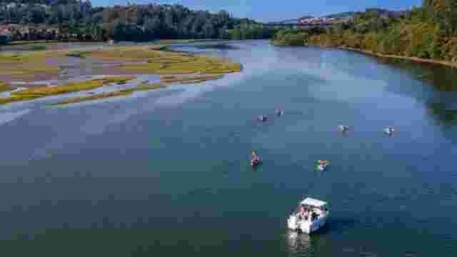
Betanzos Estuary
The Betanzos estuary, a protected Natura 2000 area, brings together the Mendo and Mandeo rivers and stands out for its landscape and wildlife richness.
The Betanzos estuary is one of the Galician Rías Altas and part of the Artabro Gulf. Formed by the confluence of the Mendo and Mandeo rivers, it is a protected Natura 2000 site with rich intertidal wildlife and notable beaches such as Perbes, Gandarío and Miño.
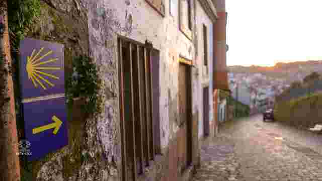
English Way
Historic route of the English Way from Ferrol to Betanzos, lightly travelled, combining sea and inland landscapes, natural scenery and medieval towns.
Mariñas Coruñesas and Terras do Mandeo Biosphere Reserve
Pelamios River
Area of great scenic beauty with remains of 19 traditional watermills, now crossed by a hiking route.
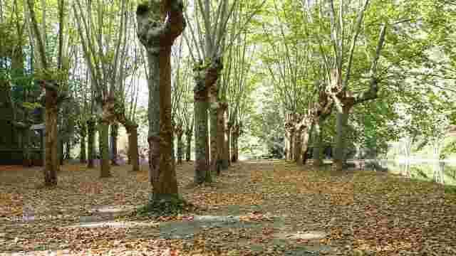
Mendo River
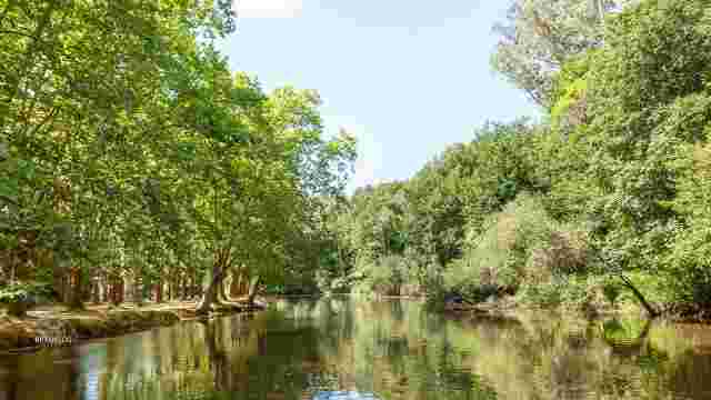
Mandeo River
The Mandeo River stands out for its rich fish fauna and for hosting the Os Caneiros pilgrimage, the largest non-religious pilgrimage in Galicia.
Betanzos Estuary
The Betanzos estuary, a protected Natura 2000 area, brings together the Mendo and Mandeo rivers and stands out for its landscape and wildlife richness.
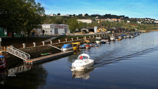
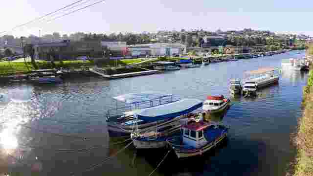
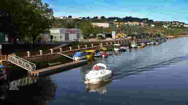
Port of Betanzos
The medieval port of Betanzos has not been preserved, but quays and promenade areas remain.
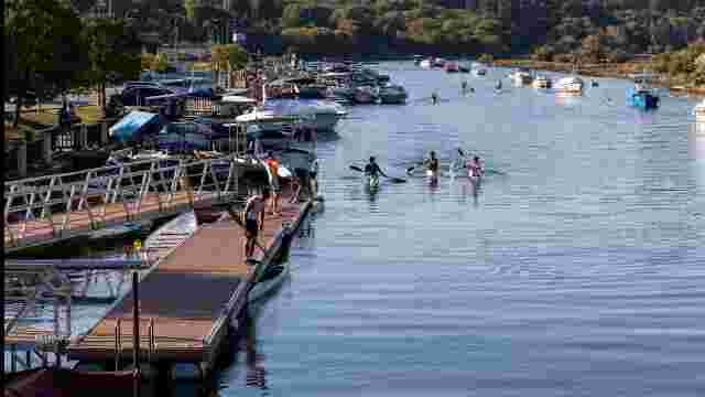
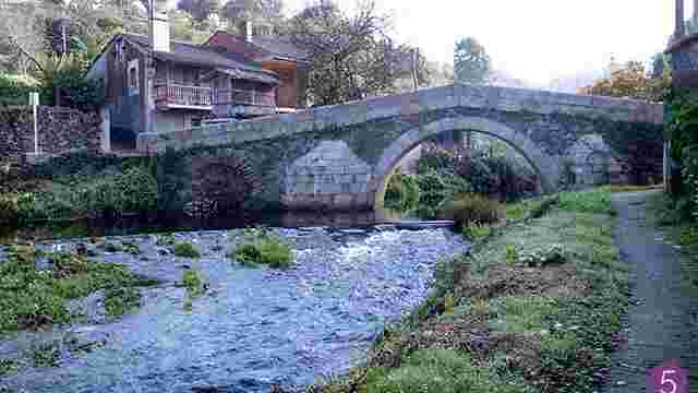
Os Caneiros Route
Linear riverside route of 3.5 km and low difficulty, from Ponte Vella to Campo dos Caneiros, setting of the traditional pilgrimage.
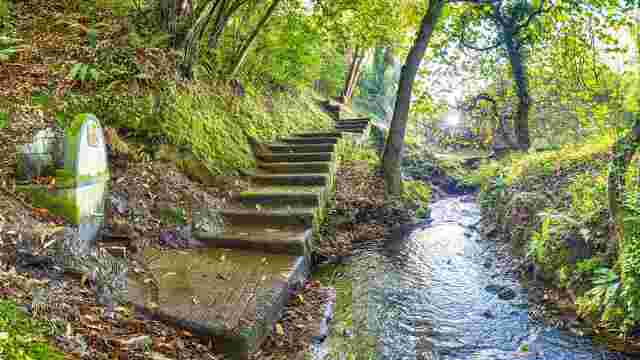
Pelamios Route
Family-friendly route along the Pelamios River, just over 1.5 km long, easy and quiet, ideal for enjoying nature with children.
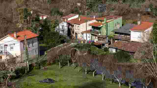
Mendo Riverbanks Route
Natural route starting at the Cascas washhouse and running through villages and medieval bridges until connecting with the Os Cabalos bridge.
Wine, Sanctuaries and Rivers Route
Route through Betanzos’ rural surroundings following the Mandeo and Mendo rivers, vineyards and sanctuaries, with two natural and heritage itineraries.